Spatial Regression Models (allometric models) for Biomass Prediction
Integrates field measurements with remote sensing data to calibrate and validate AGB estimates.
Reduces reliance on generalized allometric equations by linking spectral signatures to actual biomass.
Soil Carbon Monitoring Program (2026 Onward)
Paired-plot sampling (restored vs. natural mangroves) to isolate project-induced SOC changes.
Seasonal core sampling captures dynamic carbon fluxes influenced by tides and freshwater inputs.
Will replace default IPCC values with delta-specific SOC accumulation rates.
Disturbance & Resilience Tracking
Satellite-based NDVI/EVI trends (1992–2022) confirm no flood/cyclone-induced dieback.
Post-cyclone field assessments (e.g., Cyclone Biparjoy 2023) validate mangrove resilience.
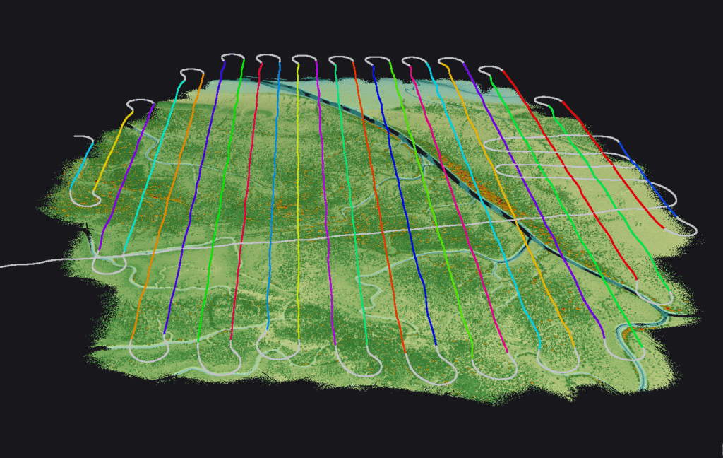
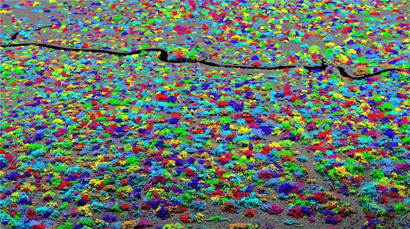
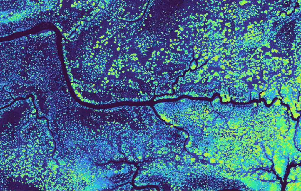
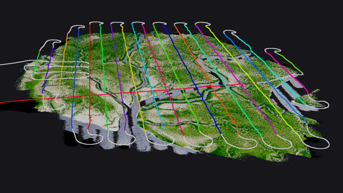
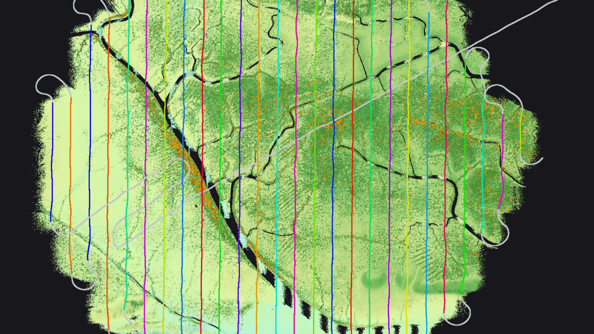
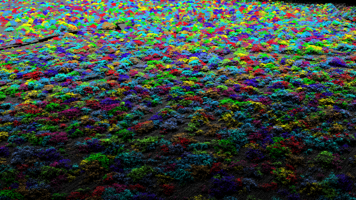
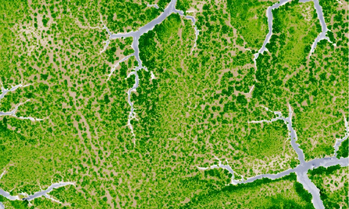
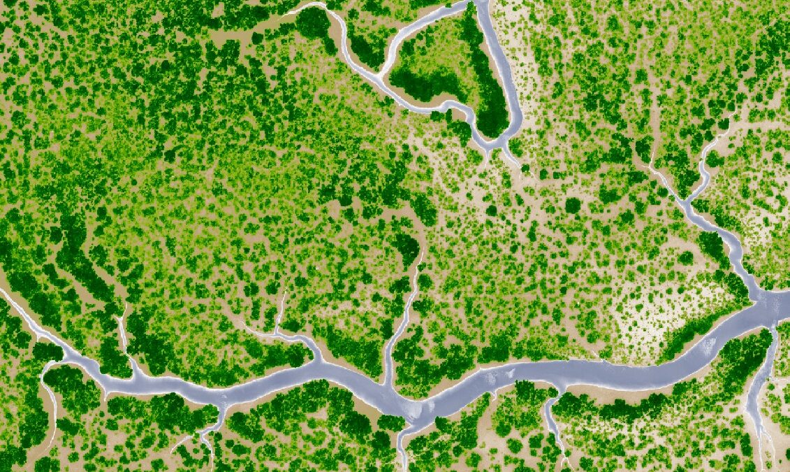
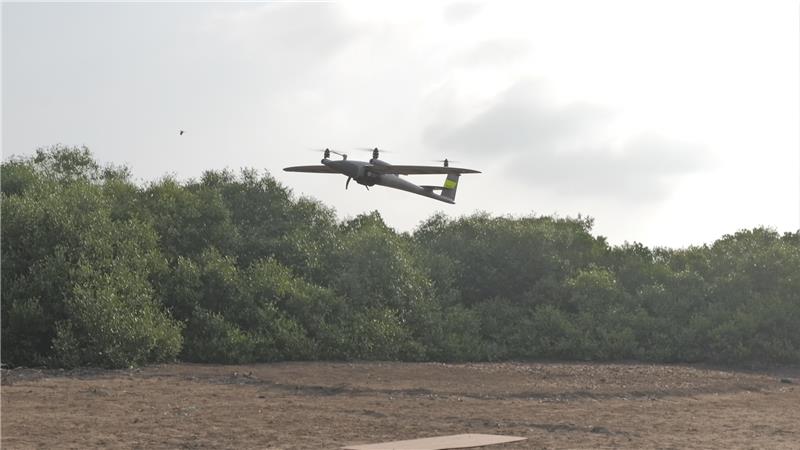
Our first LiDAR data collection protocols and biomass sampling will be available by the end of 2025 with the current SOC accumulation study completing in 2026. We will continue to update on our findings as we continue to pilot cutting-edge science and technology, redefining the forefront of blue carbon removals